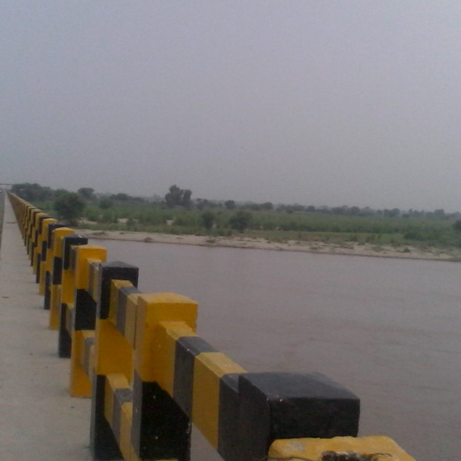
The Sutlej River bridge at Bahawalnagar. Photo: M Nouman Zafar, CC BY-SA 4.0, via Wikimedia Commons (cropped and resized)
Bahawalpur Division · headquarters Bahawalnagar · Sutlej on the north · former Bahawalpur State
The Sutlej River bridge at Bahawalnagar. Photo: M Nouman Zafar, CC BY-SA 4.0, via Wikimedia Commons (cropped and resized)
Bahawalnagar District is one of the 41 districts of Punjab, with its headquarters at Bahawalnagar. It has 5 tehsils: Bahawalnagar, Chishtian, Fort Abbas, Haroonabad and Minchinabad. The 2023 census counted 3,550,342 people on 8,878 km², and 57.01% of residents aged 10 and over were literate.
| Name | Type | Population | Area (km²) | Urban | Literacy (10+) |
|---|---|---|---|---|---|
| Bahawalnagar | Tehsil | 976,049 | 1,729 | 28.79% | 53.51% |
| Chishtian | Tehsil | 845,439 | 1,500 | 27.15% | 60.49% |
| Fort Abbas | Tehsil | 510,253 | 2,536 | 26.27% | 61.36% |
| Haroonabad | Tehsil | 615,476 | 1,295 | 34.33% | 66.28% |
| Minchinabad | Tehsil | 603,125 | 1,818 | 19.6% | 44.05% |
Bahawalnagar sits on the left bank of the Sutlej in south-east Punjab. To the east and south the district meets the Indian districts of Firozpur and Bikaner. To the west is Bahawalpur. Before 1947 this tract belonged to Bahawalpur State under the Nawabs. The headquarters town took its present name in the early twentieth century; the older settlement nearby was Rojhanwali. Phone code 063. District site: bahawalnagar.punjab.gov.pk.
Pakistan Bureau of Statistics 2023 records 3,550,342 people in 557,616 households on 8,878 km². Density is about 400 people per km². Urban count: 974,118 (27 percent). Rural count: 2,576,224. Sex ratio about 108 men per 100 women. About 972,000 residents are under ten.
Literacy at age ten and above is 57.01 percent — 63.55 percent for men and 49.95 percent for women. That female figure is lower than in northern Punjab and is the main education gap on this map. Minchinabad tehsil’s literacy row (about 44 percent) pulls the district average down; Haroonabad’s row (about 66 percent) sits at the other end.
Bahawalnagar — 1,729 km², 976,049 people, 31 union councils, literacy about 53.5 percent. District headquarters and the largest tehsil by population. Dunga Bunga is the second town in this tehsil.
Chishtian — 1,500 km², 845,439 people, 29 union councils, literacy about 60.5 percent. Shrine town of Shaikh Tajuddin Chishti (Roza Taj Sarwar). Dahranwala is a known mandi on this side.
Haroonabad — 1,295 km², 615,476 people, 22 union councils, highest tehsil literacy at about 66.3 percent.
Minchinabad — 1,818 km², 603,125 people, 20 union councils, lowest tehsil literacy at about 44.1 percent. Named for a British engineer; it faces the Sutlej and the border more directly than the inner canal towns.
Fort Abbas — 2,536 km², 510,253 people, 16 union councils, literacy about 61.4 percent. Largest tehsil by land, thinnest by density, toward the Cholistan fringe. Faqirwali is a local market name here.
Published lists give about 118 union councils for the whole district.
This is not rainfed Potohar. It is a canal-command cotton and wheat belt on the Sutlej, with a drier fringe toward Cholistan in Fort Abbas. Summer heat is severe. Water at the tail of minors, and the condition of the border-side roads, decide a farm year more than any shrine calendar. Livestock and grain markets in Chishtian, Haroonabad and Bahawalnagar carry the weekly trade.
Punjabi is the mother tongue of about 94 percent of the 2023 table. Urdu is about 3.4 percent. Saraiki is about 1.7 percent. Older local notes also mention Rajasthani / Haryanvi speech on the border villages; those rows are small in the census table. Chishtian grew around the shrine of Tajuddin Chishti, a Chishti saint linked in local history to Baba Farid of Pakpattan. The annual urs is a public gathering. It does not replace the literacy row for Minchinabad.
Government graduate and women’s colleges, commerce institutes and vocational / technical centres operate in Bahawalnagar, Chishtian, Haroonabad, Minchinabad and Fort Abbas. Degree students still travel to Bahawalpur (Islamia University and the QAMC / BVH teaching cluster) for medicine and many specialised courses. A medical college for Bahawalnagar has been discussed in provincial files; until it is running at full teaching strength, the DHQ remains the local public hospital.
Health layout used in district papers: one DHQ in Bahawalnagar city (Arifwala Road), THQ hospitals in Chishtian, Haroonabad, Fort Abbas and Minchinabad, plus RHCs and a long BHU chain. Private surgical and maternity houses cluster in Haroonabad, Chishtian and the headquarters town. Serious cases go to Bahawalpur.
Bahawalnagar city, Dunga Bunga, Chishtian, Dahranwala, Haroonabad, Minchinabad, Fort Abbas, Faqirwali.
Sources: Pakistan Bureau of Statistics 2023 (households, tehsil area, population, literacy and mother tongue); Government of Punjab, District Bahawalnagar; Bahawalpur Division health lists. Checked September 2026.
Bahawalnagar District has 5 tehsils: Bahawalnagar, Chishtian, Fort Abbas, Haroonabad and Minchinabad.
The 2023 census counted 3,550,342 people in Bahawalnagar District, up from 2,975,656 in 2017 (annual growth 3%). 27.44% of the population lived in urban areas.
Bahawalnagar District covers 8,878 km² according to the 2023 census, a density of 399.9 people per km².
The 2023 census lists 12 urban localities in Bahawalnagar District; the ten largest are Bahawalnagar (241,873, municipal committee), Chishtian (192,403, municipal committee), Haroonabad (149,679, municipal committee), Fort Abbas (83,192, municipal committee), Minchinabad (67,164, municipal committee), Faqir Wali (61,586, town committee), Donga Bonga (39,150, municipal committee), Daharanwala (37,126, town committee), Khichi Wala (26,545, town committee) and Ahmed Pur Mecleod Gunj (25,997, town committee).
57.01% of people aged 10 and over were literate in the 2023 census (male 63.55%, female 49.95%).
The most common mother tongue in the 2023 census was Punjabi (94.08% of the 3,544,911 people in the mother-tongue table), followed by Urdu (3.35%), Saraiki (1.74%).
Bahawalnagar District is in Punjab. Its headquarters is Bahawalnagar.